
Braidwood to Pontiac
It must have rained last night; the sidewalks and pavement were still wet when I made the short walk from my motel room to the nearby Casey’s Food Mart for morning coffee and a breakfast donut. The skies were clear then, the morning air clean and fresh, and the sun shining bright. It looked to be a good day for a bike ride.
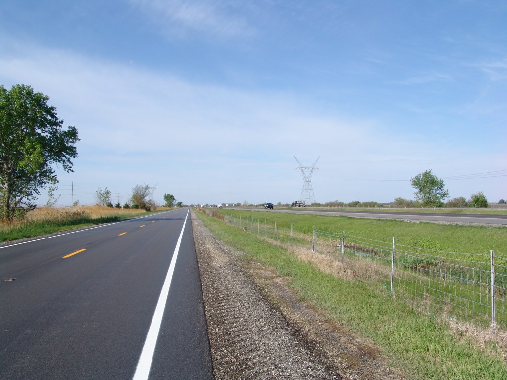
I rode out of Braidwood on Route 66 /State Highway 53 shortly after 7 AM. Although Route 66 parallels Interstate 55 for most of its way through Illinois, there’s still a lot of local traffic that use it. That early in the morning the traffic was pretty light, but it would pick up as the day wore on. And naturally, as the traffic picked up, the shoulder narrowed. So that by the time I reached Dwight there was no real shoulder to speak of. Just a white painted line marking the edge of the road, then a slight drop-off, a couple feet of gravel, and a ditch. And cars and trucks overtaking and whizzing by me at 70 miles per hour. So definitely not the best riding conditions road and traffic-wise.
And that nice morning weather that seemed to hail a great day for riding? Well, it disappeared too. Clear skies were replaced by low clouds that threatened rain all day. And of course, the morning calm was replaced by brisk winds. Winds right smack dab in my face all day. And a slight uphill grade thrown into the afternoon mix just to make sure the day would turn into a real challenge.
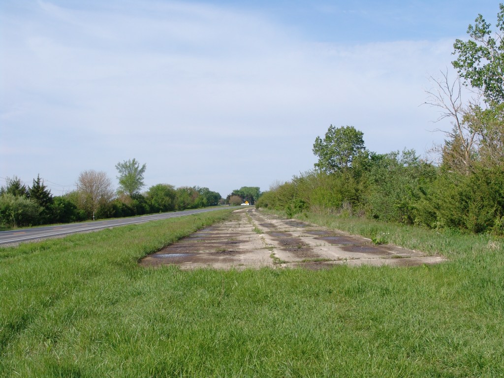
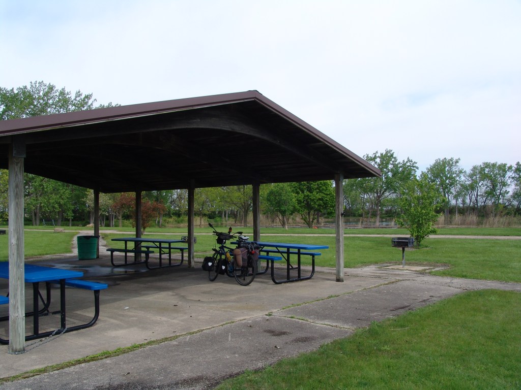
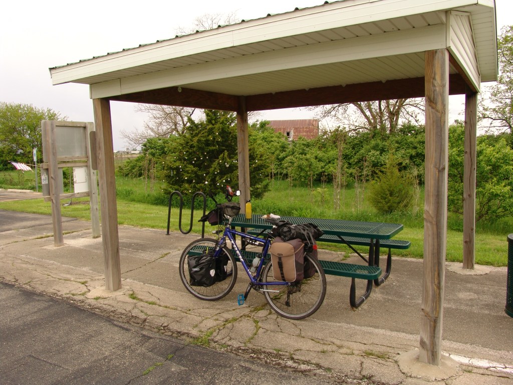
But, challenge or not, I had no choice but to go the 38 miles and get into Pontiac. There were just no campgrounds or motels en route where I could stay overnight. So I took advantage of a a picnic pavilion in Dwight’s Lions Lake Park to rest. And another shelter on an old Route 66 bike path in Odell to take a 30 minute power nap while rain clouds moved out of the area. And to avoid the dangers of bicycling on Highway 53 with its fast moving traffic and no shoulder, I rode where I could on what remained of the original, but now decommissioned, old Route 66. And along about 3 PM, I road into Pontiac. And the parking lot of the Best Western motel where I am spending tonight.
So, all that being said, what did I see today worth mentioning? Well. I saw Ambler’s Gas Station in Dwight. Renovated and reopened as a visitor center in 2007, it’s on the U.S. National Register of Historic Places. And in Pontiac I saw several bars and restaurants with Route 66 signs hanging out front. Which is to be expected, I guess. But perhaps the two most interesting things I saw up close and personal were old sections of the original Route 66. And a 2-mile-long section of that pavement asphalted over and converted into a bike path just outside Odell.
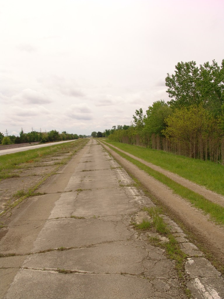
Apparently, there are several more stretches of ‘old Route 66 converted to bike paths’ between Pontiac and tomorrow’s destination, Bloomington. Tomorrow’s weather is forecast to be much the same as today, and I’m looking forward to riding those. Wind or no wind, the going is just easier on an asphalt bike path than a busy highway.

Leave a comment